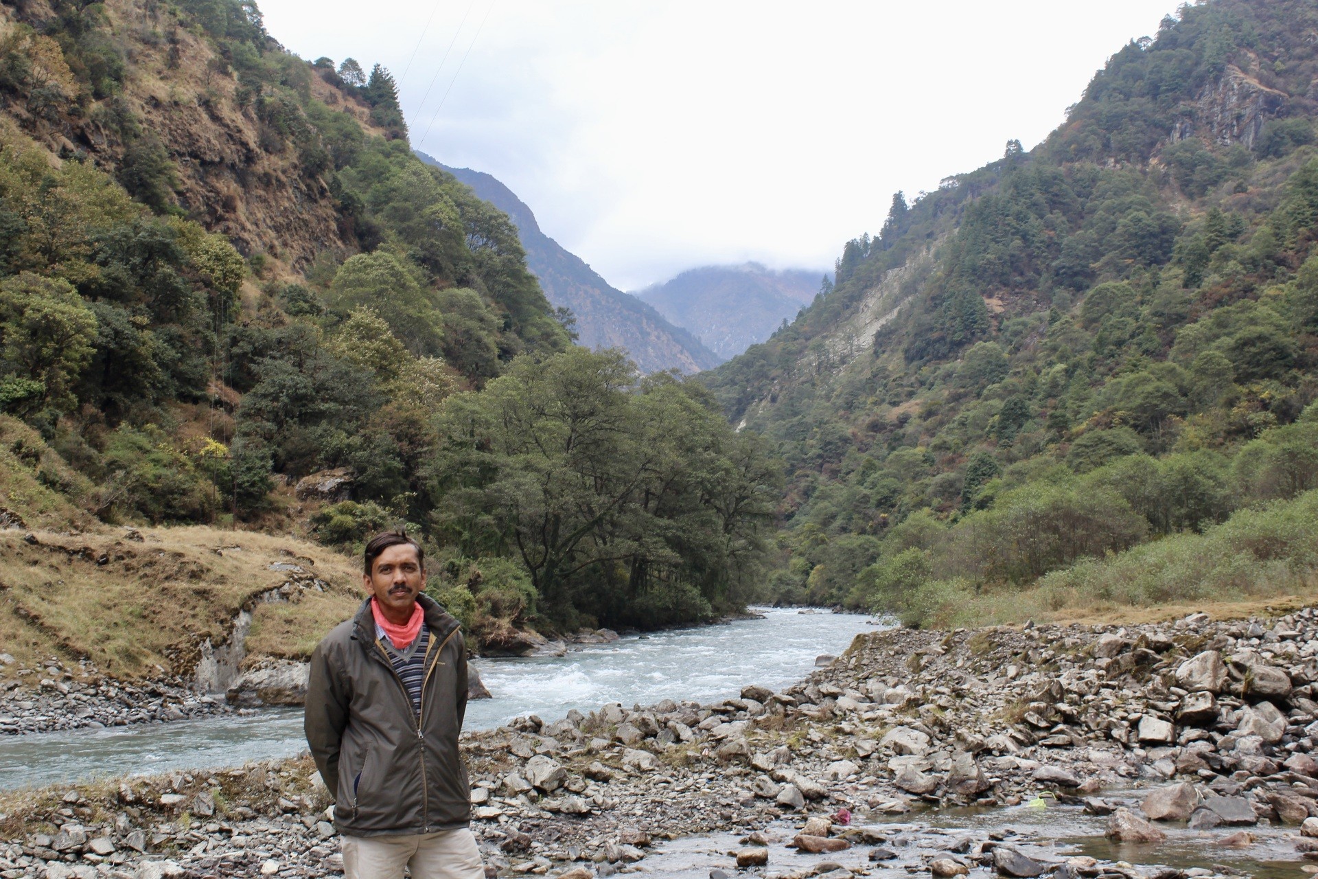
The Brahmaputra River is the 9th largest river in the world. It is the world’s 15th longest river in terms of discharged water volume. This river, on one hand, stretches over 3,848 km. It’s a river that runs through several countries. It flows through three countries: Tibet, India, and Bangladesh.
The name Brahmaputra is derived from Sanskrit, and it means “son of Brahma.” Brahma is one of the Hindu religion’s supreme Gods, and he plays a significant role in Hindu mythology.
The Brahmaputra in India, the Jamuna in Bangladesh, and the Yarlung Zangbo in China are some of the names given to it by different countries. In Tibet, this river is also known as the Red River. This river originates in the Manasarovar Lake region, near Mount Kailash.
It flows through Tibet and enters Arunachal Pradesh, India’s northeastern state. After that, it flows through Assam, another Indian state in the northeast. Then it flows through Bangladesh before finally reaching the Bay of Bengal.
The Brahmaputra River flows over 580,000 sq. km before reaching the Bay of Bengal, with an average width of 80 km. In Tibet, it is 293,000 sq km in size, in India and Bhutan it is 240,000 sq. km, and in Bangladesh it is 47000 sq. km.
1. Brahmaputra River in Arunachal Pradesh
The Brahmaputra River rises in Tibet and runs through Yarlung Tsangpo before reaching India’s Arunachal Pradesh. This river, however, is known as Siang in Arunachal Pradesh.
It rapidly falls from its starting height in Tibet. As a result, it finally makes its way to the plains and is known as Dang. It flows about 35 km south before joining the Dibang and Lohit rivers at the top of the Assam Valley.
The Brahmaputra, Doima (mother of water), and Burling-Buthur below the Lohit are all names given to this river by the Bodo tribals. It finally reaches Assam, where it acquires a width of up to 20 km in some sections.
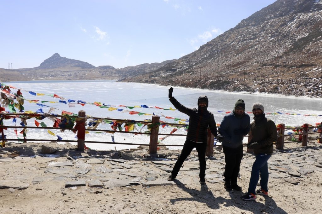
2. Brahmaputra River in Assam
As it enters Assam’s north-eastern region, the Dihang winds its way out of the mountains. However, it gradually moves to the south-east, eventually falling into a low-lying valley. The river then meanders southwest again, around west of Sadiya. Then it meets two mountain streams, the Lohit and the Dibang.
Even in the dry season, the river in Assam is always full of water, and its banks are more than 8 km apart during the rainy season. The Burhi Dihing, Disang, Dikhu, and Kopili are the primary tributaries that flow south from the hills and plateau.
The river divides into two channels between the districts of Dibrugarh and Lakhimpur: the northern Kherkutia channel and the southern Brahmaputra channel. These two canals do, however, reunite around 100 km downstream. As a result, Majuli is the world’s largest river island.
The Brahmaputra River falls through the Shillong Plateau rocks at Guwahati, near the mediaeval pilgrimage site of Hajo. It is 1 km bank-to-bank at its straightest point. The Brahmaputra Valley semi-evergreen forests surround the ecoregion of Assam’s Brahmaputra river flood basins.
3. Brahmaputra River in Bangladesh
One of the Brahmaputra’s major tributaries, the Teesta River (or Tista), joins it in Bangladesh. The Brahmaputra River separates into two river channel branches below the Tista. The western branch of the Ganga carries the majority of the river’s flow.
However, it continues south as the Jamuna River before merging with the Padma River, the Ganga’s lower tributary. The Lower or Old Brahmaputra is the eastern branch of the Brahmaputra. It was initially supposed to be the larger river, but it has decreased significantly in recent years (smaller).
It flows southeast near Dhaka before merging with the Meghna River. In Chandpur, the Padma and Meghna rivers merge and flow into the Bay of Bengal. Meghna is the name of the river’s last portion.
After flowing south around the Garo Hills below Dhuburi, India, the Brahmaputra River enters Bangladesh’s plains. It joins the Tista River after flowing through Chilmari, Bangladesh. Then after, the Jamuna River flows south for 240 km.
On its right bank, the Jamuna River absorbs the combined waters of the Baral, Atrai, and Hurasagar Rivers. On the left side, it becomes the mouth of the large Dhaleswari River. The Buriganga, an important Dhaleswari river, flows through Bangladesh’s capital, Dhaka, before joining the Meghna River above Munshiganj.
The Jamuna joins the Ganga north of Goalundo Ghat. Its water flow combines with the Padma for around 120 kilometres to the south-east. On the other hand, other smaller waterways branch out to the south, supporting the Ganga-Brahmaputra delta.
Near Chandpur, the Padma River meets the Meghna River. Then it flows into the Bay of Bengal via the Meghna delta and other canals that cross the delta. Tidal forces, on the other hand, control the spread of the Ganga Brahmaputra Delta.
4. Brahmaputra River in Tibet
The Tibetan word for the upper portions of the Brahmaputra River is Yarlung Tsangpo. It begins near Mount Kailash on the Angsi Glacier in Burang County.
The river has a length of 3,969 km and drains an area of 712,035 sq.km. As a result, the river flows for over 1,100 kilometres between the main Himalayan range to the south and the Kailas Range to the north, in an easterly direction.
5. The climate in the Brahmaputra River
Rainy and monsoon season in Brahmaputra Basin
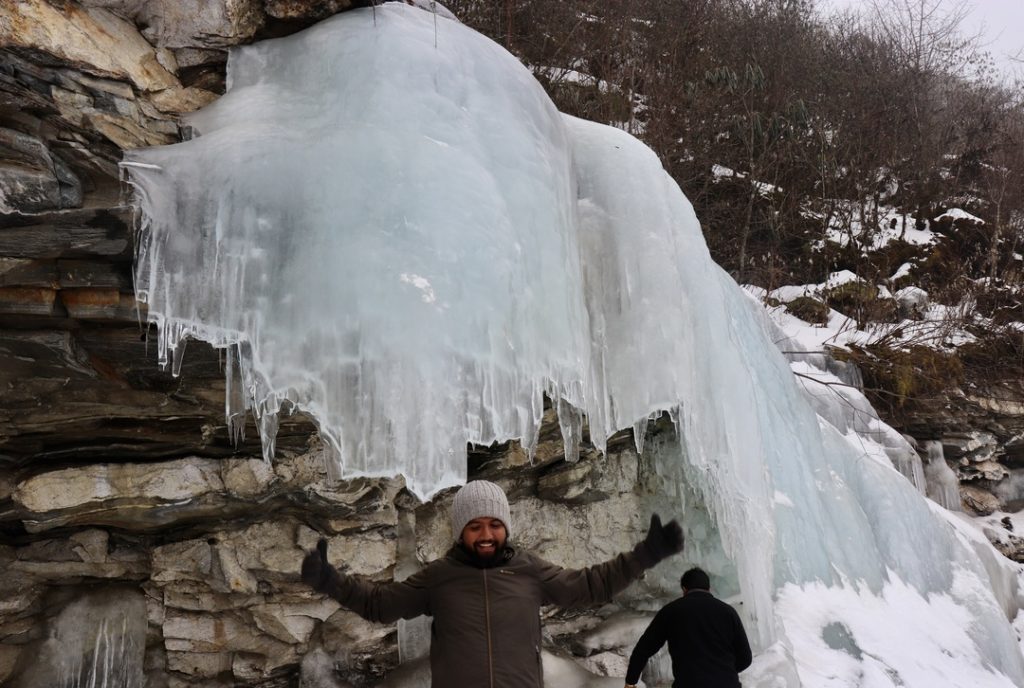
The Brahmaputra River passes through a variety of climate zones on its way from the Himalayan snowfield to the Bangladesh delta flood plains. A large amount of rain will arrive in this area. In different regions of the basin, rainfall is distributed differently. It does, however, receive an average of 1,100 MM of rain per year.
It has a monsoon season from June to September. This is the rainiest season, with 60-70 percent of the basin’s annual rainfall falling during this time. Rainfall on the southern slopes of the Himalayas exceeds 6000 mm, whereas it is just 1200 mm in sections of Nagaland.
Winter and summer season in Brahmaputra Basin
There is no rain in the winter, making it the driest season. Snowfall occurs at altitudes more than or equal to 1500 metres in this basin. In India’s Brahmaputra River basin, it is made up of 610 glaciers. It has a surface area of 928.91 sq.km and a volume of 49.57 cubic km of water. There are 161 glaciers in Arunachal, and 449 in the Teesta basin.
The climate in this region is hot in the summer and cool in the winter. As a result, the average summer temperature is 19.6°C, and the average winter temperature is 9.2°C in this region. Every year, the temperature fluctuates due to climate change.
The Brahmaputra basin gets most of its water from Himalayan snow and glacial melt streams. Climate change, on the other hand, will have a considerable impact on the Brahmaputra Basin’s rainfall and snowfall patterns.
One of the main causes of snow melting in the upper Brahmaputra basin is rising temperatures. The river’s flow has been significantly influenced by the melting of snow in the upper Brahmaputra basin.
Fluctuations in river flow caused by snowmelt in the Brahmaputra basin affect the river’s downstream discharge. Flooding and erosion are major disaster problems caused by the increased water input produced by the substantial retreat of snow.
6. Farming in Brahmaputra River Basin
Because of its fertile soil, this region is one of the greatest for farming, and farming is the primary source of income for the majority of the people. Paddy is the main crop in this area, with wheat, maize, grammes, and millet serving as secondary crops.
It also helps with the production of profitable crops like sugar cane and jute. The Brahmaputra River is helping people in this region find work in sectors like fishing and transporting goods and people.
7. Plants and Animals in Brahmaputra River Basin
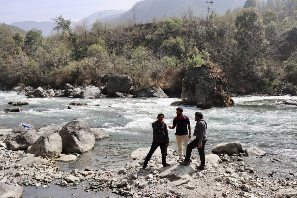
Shrubs and grasses, as well as the upper sections of the Brahmaputra, dominate the vegetation in Tibet’s high Plateau (Tsangpo). The forest grows as a result of increased flow of water as the river flows from Tibet.
Assam is home to the sal (genus Shorea) forests. The lac insect is a valuable wood tree’s offspring. As a result, the resin required for the production of shellac is now available. Tall reed jungles occur in marshes and other low-lying wet areas. Massive flood plains form at even lower altitudes as a result of this.
Across the Assam Valley’s cities and villages, many fruit trees yield plantains such as papayas, mangoes, and jack fruit. Assam and Bangladesh are both home to bamboo trees. The delta region is home to mangrove swamps, Nipa palms (Nypa fruticans), and other halophytic (salt-tolerant) plants.
The one-horned rhinoceros, which has been extinct in other parts of the world, is the most famous mammal of the Brahmaputra basin. Kaziranga National Park, Manas National park, etc., provides a secure haven for rhinoceros and other wildlife in the valley.
Monkeys, tigers, elephants, deer, alligators, and Bengal tigers all live in the Brahmaputra region’s forest, which is home to a variety of wildlife. Fish such as pabda (Omdok pabda), chital (Notopterus chital), and mrigal can be found in this area (Notopterus mrigala).
8. People living in Brahmaputra Valley
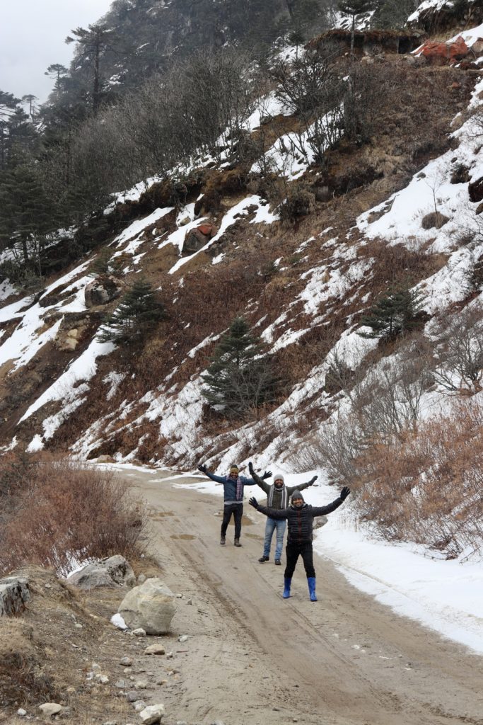
The people that live in the Brahmaputra Valley come from a wide variety of ethnic and cultural origins. Tibetans practise Buddhism and speak the Tibetan language north of the Great Himalayas. They raise livestock and use irrigation water from the Brahmaputra River to cultivate the valley.
Assamese ancestors, as well as those from India’s south and west plains, speak Tibeto-Burman languages. Bengali is a similar language to Assamese spoken by the people of India’s West Bengal state and Bangladesh.
The river flows through a highly populated Bengali neighbourhood. Within the Bengal Plain, they do, however, create a lovely valley. The tribal Garo, Khasi, and Jaintia people of India’s Meghalaya state live on the plain’s hills and outskirts.
Conclusion
The Brahmaputra is one of Asia’s largest rivers. It’s the one with the maximum liquid capacity. This is India’s least-used river. The Brahmaputra and its tributaries have a diverse aquatic biodiversity.
The basin of this river is also prone to flash floods, with the valley having experienced some of the worst floods of the new millennium. There is a lot of opposition to hydroelectric developments in the Brahmaputra Valley presently. The Brahmaputra is a powerful river with social, political, economic, and cultural features that reflect its power, as well as physical traits.

